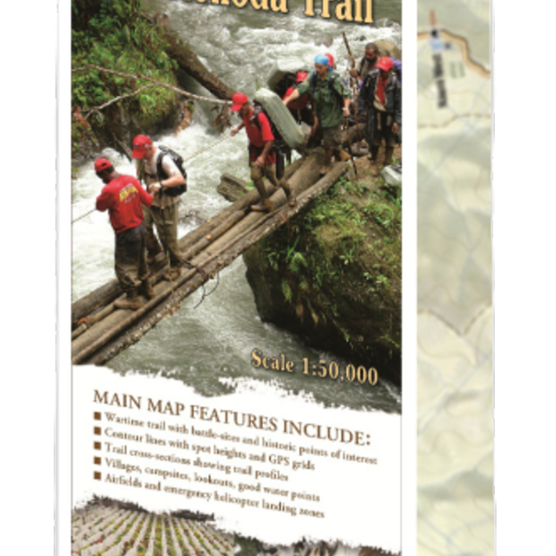
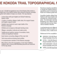
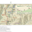
Kokoda Trail Map Topographical 1:50,000
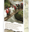
The 1:50,000 topographical map of the Kokoda Trail contains a detailed plot of the wartime tracks used during the Kokoda campaign together with details of today’s eco-tracks. The map features:
- Location of wartime villages, battle sites, fire-support bases and logistic support areas
- A comprehensive narrative of the Kokoda campaign
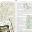
- Detailed map inserts for each major battle of the Kokoda campaign
- Villages, campsites, lookouts and water points
- Airfields and emergency helicopter landing zones
- Traditional and wartime names of mountains, rivers, creeks and significant features
- Contour lines with spot heights and Global Positioning System Grids
- Trail cross sections showing track profiles
- Bush tracks connecting villages off the main trail
- Map folds to show the topography of each day’s trekking together with a cross profile illustrating ascents and descents for the day ahead.
The recent development of the Garmin GPSMAPS 60 handheld receiver with high sensitive antennae allowed satellite signals to penetrate the jungle canopy over the Kokoda Trail and obtain accurate readings for the first time.
Over the years we have conducted numerous mapping expeditions over all sections of the Kokoda Trail utilising official army survey maps, descriptions from various battalion histories and the guidance of local landowner teams. As a result we have been able to identify the wartime location of villages and local names of all mountains, rivers, creeks and features along the Kokoda Trail.
References for the compilation of the map include:
- Royal Australian Army Survey Corp Map EFOGI. 1;100,000
- KOKODA
- PORT MORESBY
- Wartime sketch maps and air photographs from the Australian War Memorial and the National Library of Australia
- PNG Mapping Bureau Survey Map of the Kokoda Trail
- Descriptions of the trail from wartime journalist, Osmar White
- Village elders from the Koiari and Orokaiva people who lived along the trail in 1942
Shipping will be added during checkout after the address has been entered.
Please contact us for overseas delivery or bulk orders.
Approximate postage within Australia: $4.95 per item.
Why Trek with Adventure Kokoda
Our primary goal is to lead you safely across the Kokoda Trail and ensure you have an unforgettable wartime historical and cultural experience.
Charlie has led 101 expeditions across the Kokoda Trail over the past 32 years.
He previously served in the Australian Army for 21 years. During this time he saw active service in Vietnam; was assigned to the joint Australian, New Zealand and British (ANZUK) Force in Singapore/ Malaysia from 1970-72, and as an exchange instructor in Airborne Logistics with the United States Army from 1977-78. He is a graduate of the Army Command and Staff College.